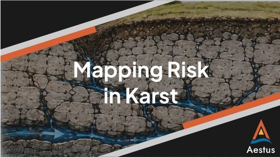
Karst sites are inherently difficult to characterize because subsurface conditions can change dramatically over short distances. Groundwater flow, contaminant migration, and ground stability may be controlled by a complex network of fractures, conduits, sinkholes, and voids rather than uniform formation properties. As a result, two nearby borings or wells can encounter entirely different conditions, while hydraulically connected features may transport water or contaminants considerable distances toward springs, wells, surface water, or other receptors.
2D continuous subsurface imaging, via electrical resistivity tomography, helps provide the spatial context between those points, revealing whether observed conditions are isolated or part of a larger, connected system. Importantly, electrical resistivity imaging (ERI) does not replace drilling. The two methods are complementary: imaging identifies potential controlling features and allows targeted confirmation borings, wells, and other testing to be positioned strategically, increasing the decision value of each investigation location.
Ultimately, higher-resolution characterization reduces reliance on assumptions. By identifying controlling features and potential migration pathways earlier, project teams can build a stronger conceptual site model, better target investigation and treatment, evaluate receptors, and reduce the likelihood of missed contamination, ineffective remedies, schedule delays, redesign, and other costly surprises. In other words, ERI can not only help to mitigate the risk due to karst features from a health and safety perspective, but it can also reduce the overall risk of your project going sideways.
The graphics below show results of Aestus’ ERI investigation that helped with mapping risk zones prior to a rig construction project. Specifically, the images show both an interpreted fault and a sinkhole that were then able to be avoided during construction..