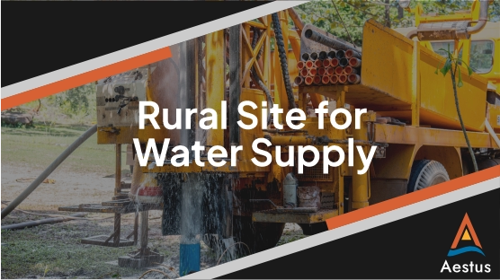
Finding groundwater has traditionally involved assessment of regional maps to estimate drilling locations. In some regions, this does not provide enough information and these methods lead to dry well after dry well—wasting time, money, and resources for the communities relying on new water sources.
Recently, our team was in the field helping a client locate groundwater for nearby communities using GeoTrax Survey™ subsurface imaging. Instead of drilling blindly, first we “imaged” the subsurface with electrical resistivity.
How does it work?
In the office, we use regional geologic information and prior drilling data to guide the survey design.
Next, our field team puts boots on the ground and collects electrical data to inform subsurface conditions. For projects where depth is a priority, our surveys can extend along the ground surface as far as ~0.75 miles and “see” nearly 1,000 feet below the ground. Seeing this deep is often critical for groundwater resources, but presents quite a challenge for a standard ERI vendor due to the amount of equipment needed and potential logistics along such a long transect.
To accomplish this work efficiently, Aestus uses custom made equipment to spool and unspool electrode cables from UTVs. Additionally, our surveys can cross over steep terrain, ravines, and even water. If we can walk it, we can survey it. And, for some of these sites, there is A LOT of walking!
Once field work wraps up, our project team goes to work analyzing and interpreting the electrical images. Precise drilling locations and depths are delivered to our clients—helping focus efforts and resources. The result:
Better data leads to better decisions—and ultimately better outcomes for the communities we serve.